A map can tell you where you are, but the terrain tells you how you should move. Environmental awareness—the skill of instantly interpreting the ground beneath your feet and the landscape around you—is the most powerful form of navigation and safety. Whether you are on a multi-day hike, navigating a remote area, or simply trying to find the easiest route through a city park, reading the terrain allows you to conserve energy, maintain concealment, and stay one step ahead.
1. 🔑 The OAKOC Framework: A Mental Checklist
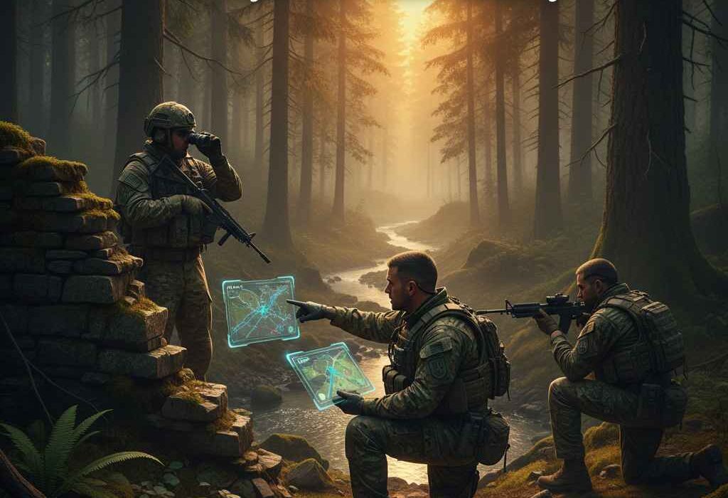
The U.S. military uses the OAKOC acronym to systematically analyze any piece of terrain. You can use a modified version of this checklist in any environment to gain a tactical edge:
| Factor | Question to Ask | Tactical Advantage |
| Observation & Fields of Fire (O) | What is the highest point that gives me the widest, clearest view? | Spotting: Allows you to see hazards, your objective, or potential threats before they see you. |
| Avenues of Approach (A) | What are the fastest, easiest, or most concealed routes to or from a location? | Efficiency: Choosing the path of least resistance to conserve energy; predicting animal or human movement. |
| Key Terrain (K) | What piece of ground is vital to control? (e.g., a choke point, a sole water source). | Control: A hill, bridge, or narrow pass that, if controlled, dominates all surrounding movement and access. |
| Obstacles (O) | What naturally slows me down or stops movement? (e.g., steep cliffs, rivers, dense swamps). | Protection & Prediction: Use large obstacles to protect your flanks; predict where traffic or wildlife must move. |
| Cover & Concealment (C) | Where can I hide from sight (Concealment)? Where can I stop a bullet or the wind (Cover)? | Safety: Moving along natural features (tree lines, ditches) to reduce visibility and exposure to the elements or danger. |
2. 🗺️ Reading the Flow: The Five Major Features
All terrain, no matter how complex, is composed of five basic features (as typically seen on a topographical map). Recognizing them quickly dictates your movement and energy use.
- Ridge: A line of high ground. Tactical Use: Moving along the ridge crest is efficient but exposes you to view. The best movement is often just below the crest (the military crest) for observation while maintaining concealment.
- Valley (or Draw): Low ground that runs between two high points, often containing a stream. Tactical Use: Excellent for concealed movement, as the low ground offers the most visual protection.
- Hilltop/Peak: An area of high ground from which the ground slopes down in all directions. Tactical Use: The ultimate point for long-range observation. However, they are often exposed and very costly in energy to climb.
- Saddle: A dip or low point between two high points. Tactical Use: A Danger Zone. It’s a natural, easy avenue of approach, which makes it a high-risk route for movement. Move through saddles quickly or use the surrounding high ground for cover.
- Depression: A sunken area that is lower than the surrounding ground (like a small pond or sinkhole). Tactical Use: Great for temporary, immediate cover from observation or wind.
3. 🌲 Environmental Cues: Reading the Micro-Terrain
Beyond the major features, successful terrain reading involves paying attention to subtle environmental indicators:
- Aspect (The Direction a Slope Faces):
- South-facing slopes (in the Northern Hemisphere) receive the most sun, meaning they are typically warmer, drier, have less dense vegetation, and hold snow for a shorter time. Advantage: Faster, easier travel, better campsites.
- North-facing slopes are cooler, retain moisture, have denser vegetation, and may harbor ice or thick mud. Disadvantage: Slower, higher energy cost, but better sources of water/moisture.
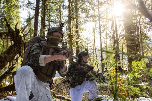
- Vegetation Density: Thick pine forests offer superb concealment but slow movement. Open grassland is fast but offers zero cover. Plan your route to use the edges of dense vegetation for fast, concealed movement.
- Water Channels: Rivers and streams dictate the land’s shape. Always follow the highest, dry ground parallel to the water channel to conserve energy and avoid boggy ground, which is exhausting to traverse.
By shifting your mindset from simply following a trail to analyzing the advantages of every hill, valley, and patch of vegetation, you elevate your movement from simply covering ground to moving with purpose, efficiency, and safety.